




 Direction
 81
81 Check In
 View Map
 Claim it
 Suggest edit
 Report
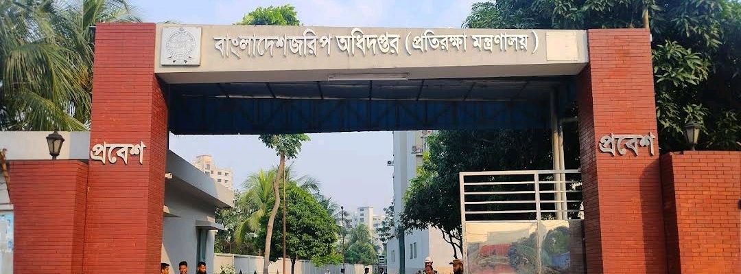
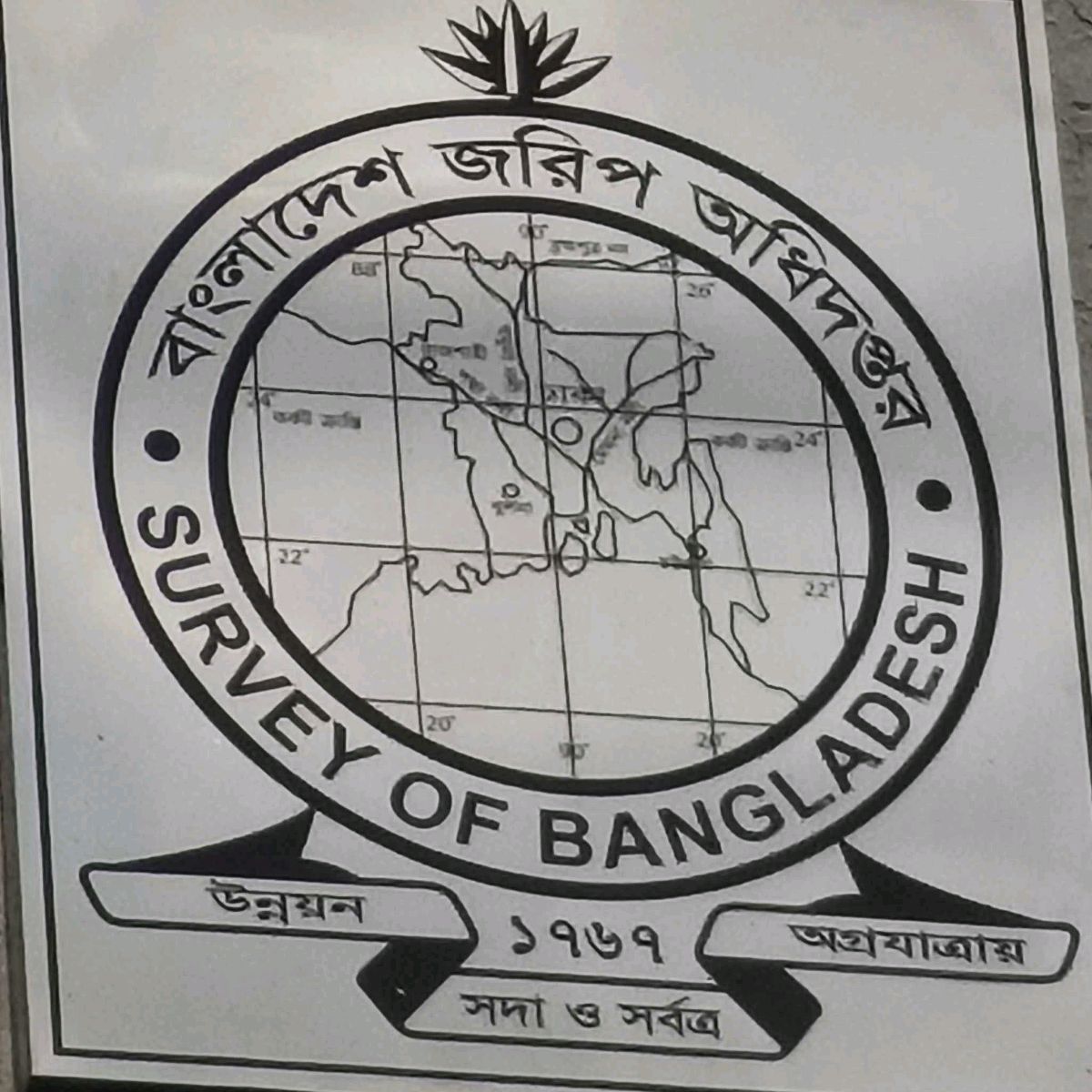
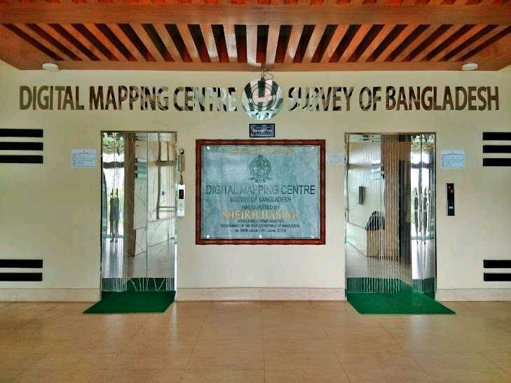
Survey Of Bangladesh Digital Maping Centre in Mirpur 14, Kafrul
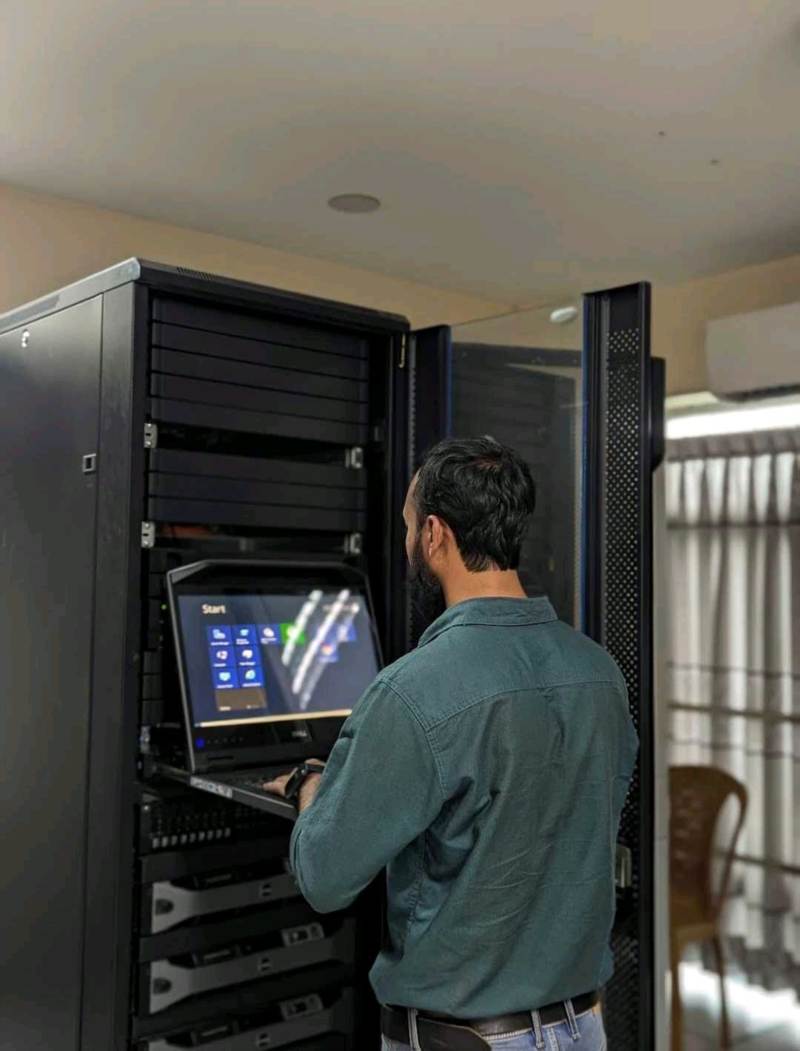
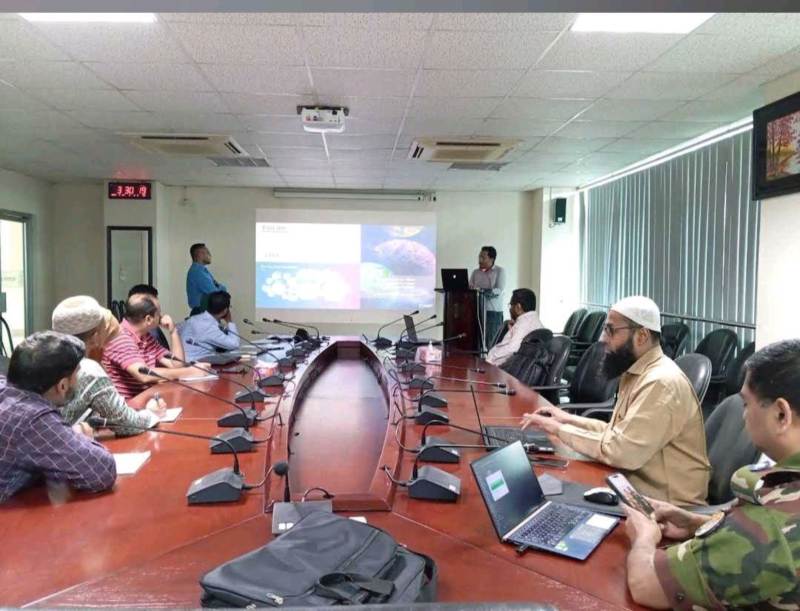
Survey of Bangladesh, Digital Mapping Center is a specialized government mapping and geospatial service center focused on digital surveying, GIS database development, topographic mapping, and geographic information management in Bangladesh. The center supports national development projects through advanced digital mapping technologies, aerial survey data, geodetic control systems, and accurate geographic information services. It plays an important role in land surveying, urban planning, infrastructure development, and digital map production for government and public use. �
Banglapedia +2
Digital topographic and geospatial mapping services
GIS database and geographic information solutions
Land surveying and digital mapping support
Aerial survey and geodetic control data servicesMapping support for infrastructure and development projects
Advanced digital mapping technology and data management
A trusted national center for digital mapping, surveying, GIS data, and geospatial technology services in Bangladesh
Hours of Operation
Closed
10:00 AM
to
4:00 PM
10:00 AM
to
4:00 PM
10:00 AM
to
4:00 PM
10:00 AM
to
4:00 PM
10:00 AM
to
4:00 PM
Closed
Payment Method
 Cash
Cash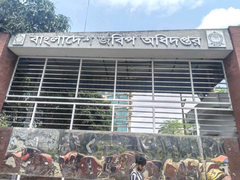

Location Map